
Leavenworth, Washington
Leavenworth Travel Advisories
CONDITIONS, CLOSURES & REAL-TIME INFO
Leavenworth is open and ready to welcome you!
Your safety and experience here matter to us. Conditions like weather or wildfire smoke can shift from time to time, so we always recommend checking current conditions and planning ahead before you visit.
Live readings refresh when you load the page. Each panel below shows the observation time for its own data.
Advisories
Active Alerts
Closures, restrictions and advisories in effect right now
Closures
Little Giant FireForest Service trail closures in the Lake Wenatchee / Chiwawa area. Leavenworth is not threatened.InciWeb ↗
HIGH
Fire danger: HIGHBurn restrictions apply county-wide.See restrictions
Wildfire
Staying Informed: Fire Conditions & Restrictions
Wildfire status, burn restrictions and closures
About the Little Giant Fire
You may have seen news coverage or noticed smoke plumes from the Little Giant Fire, burning in a remote area near Lake Wenatchee, about 25 miles northwest of Leavenworth. It started from a lightning strike on July 15 and has been growing.
This fire is not threatening Leavenworth in any way. The town, downtown businesses, lodging, and attractions are open and operating normally. Some U.S. Forest Service trails and roads in the Lake Wenatchee / Chiwawa River area are closed for safety.
Like anywhere in the region during wildfire season, air quality here can shift from hour to hour depending on wind and weather. It’s easy to check current conditions before you head out.
Fire Danger: HIGH
Current Restrictions
- Current Fire Danger is HIGH! Follow all restrictions in place.
- Outdoor, open burning of grass, leaves, brush, and other natural materials is prohibited.
- Motorists cannot drive off a county roadway, except to access open public lands.
- The use of exploding targets and incendiary ammunition is prohibited.
- Recreational fireworks are prohibited in Chelan County.
- Residential campfires are not allowed anywhere.
- Commercial barbecues and camp stoves are allowed.
- Smoking materials (cigarettes, for example) should always be properly disposed of in a metal or non-combustible container; never discard cigarettes or other smoking materials in vegetation or flower beds, or leave them burning near combustible materials.
Know Before You Go Checklist
Okanogan-Wenatchee National Forest ↗
links to current fire area closures, trail and road closures, campfire restrictions, and more.
InciWeb — Incident Information System for Wildfires ↗
Reporting tool for fire incident related information by state.
Search for park-specific alerts, restrictions and notifications.
Washington State Department of Transportation ↗
closures, delays, and road conditions with live webcams.
Current weather and forecasts for the Leavenworth area.
Chelan County Emergency Management ↗
Public Alert system for emergencies in the county.
Air Quality
Air Quality Monitors
Leavenworth and Plain, updated hourly
Leavenworth’s real-time air quality conditions can help you plan your visit and daily activities based on current conditions. Checking the Air Quality Index (AQI) allows visitors to make informed decisions about outdoor recreation, travel, and event participation—especially during periods of smoke or changing weather.
Rivers
River & Water Conditions
Flow, gauge height and water temperature for floating, paddleboarding and rafting
cfs = cubic feet per second — how much water is moving past the gauge. Higher means faster, colder, pushier water.

Checking the flow is part of planning a great float.
Flow readings are orientation, not a green light. Conditions vary hour to hour and hazards like strainers, cold water and log jams do not show up in a number. Life jackets are required for children under 13 on Washington waters, and are strongly recommended for everyone. Check with a local outfitter or a Recreation Ambassador before you put in. Local outfitters ↗
Flows look friendly?Floating and paddling the Wenatchee is a Leavenworth summer classic. Read the river floating resources, then make a day of it.
Getting Here
Roads, Passes & Getting Here
Both mountain passes, plus Tumwater Canyon

The drive is part of the trip — two mountain passes, both gorgeous.
Leavenworth sits between two mountain passes. Check both before you drive, especially November through April when traction tire and chain requirements can appear with little notice.
US-2 · Stevens Pass
From Seattle and the west side. Elevation 4,061 ft. Closes for avalanche control in winter.
US-2 · Tumwater Canyon
Leavenworth to Wenatchee. Rockfall and winter closures; no cell service for much of it.
Live Views
Live Webcams
See real-time conditions in Leavenworth right now
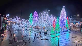
Live from Kris Kringl
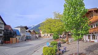
Live from the Promenade
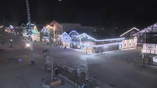
Live from Rhein Haus
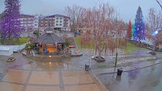
Live from Mountain Modern Supply
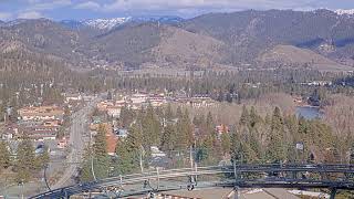
Live from the Leavenworth Adventure Park
Visitor Services
Willkommen Center (Welcome Center)
Staffed seven days a week

Real people with real answers, seven days a week on Front Street.
For comprehensive information on all things Leavenworth, including any weather-related news, stop by, email, or call the Willkommen Center, located at 645 Front Street in Leavenworth. Staffed with experts seven days a week from 9 a.m. to 6 p.m., the Welcome Center provides details about current activities and events, shopping and dining options, attractions, outdoor recreation, and more. Free WIFI. You can reach us by phone at (509) 548-5807.
Address645 Front Street, Leavenworth, WA 98826
Hours9 a.m. – 6 p.m., seven days a week
Phone(509) 548-5807
In an Emergency
- Emergency911
- Chelan County Sheriff — non-emergency(509) 663-9911
- Willkommen Center(509) 548-5807
- Cascade Medical (Leavenworth)(509) 548-5815
Cell coverage is limited or absent on much of Icicle Road, in Tumwater Canyon and throughout the Enchantments. Download offline maps and tell someone your plan before you go.
Recreate Responsibly
Give a Schnitzel!
Recreate responsibly
As you head out to explore, we invite you to Give a Schnitzel—for your own safety, the safety of others, and the protection of the places we all love. During the drier summer months, staying aware of wildfire risks and current conditions helps keep everyone safe.
To extend a cheerful Willkommen, Leavenworth’s Recreation Ambassadors can be found at trailheads and along the river at key access points. They’re a great resource for real-time updates, maps, safety tips, and even a bit of fun swag to help you adventure responsibly.
